
Travel video guide
Best Parks in France From Partir.com
This guide turns Les plus beaux lieux à voir dans la Côte d'Azur from Partir.com into a practical parks map with 3 saved spots around Massif des Maures, Rue d'Italie, and Îles d'Hyères. The mapped places include a national park and a place marker. Use it to understand the places and trip context before saving the map in Varedelo.
What this map is good for
- Planning a national park stop or short itinerary in Massif des Maures.
- Seeing where the mapped places sit together before choosing what to visit first.
- Saving 3 mapped spots into Varedelo so the list stays usable on the ground.
- Using the original video as context, then turning it into a clean place-by-place map.
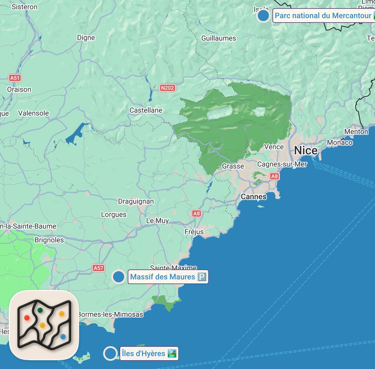
Featured spots on this map
- Massif des Maures
Place marker in Massif des Maures, 83610 Collobrières, France, Massif des Maures, Collobrières, France - Îles d'Hyères
National Park in Îles d'Hyères, Hyères, France, Îles d'Hyères, Hyères, France - Parc national du Mercantour
National Park in 23 Rue d'Italie, 06000 Nice, France, Rue d'Italie, Nice, France
Planning questions
What are the best spots in France from this video?
This guide maps all 3 spots featured in the video, with names, addresses, and neighborhoods, so you can plan your trip to France.
Can I save these spots to use on my trip?
Yes. Open the map in Varedelo to save every spot, get directions, and revisit the guide from your phone while you travel.
Use it on your trip
Save this parks map before you go
Keep the mapped spots, creator context, food notes, and planning details together. Varedelo turns the page into a phone-friendly map you can revisit when you are choosing where to go.