Travel video guide
Where to Eat in Auvergne-Rhône-Alpes: 26 Places From Koolpix
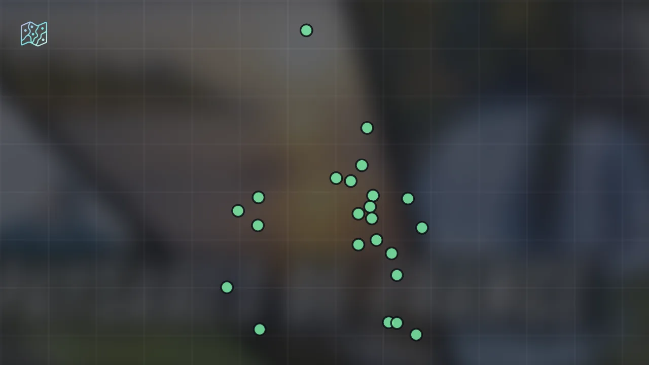
This guide turns Les plus beaux paysages naturels de France from Koolpix into a practical food map with 26 saved spots around Ambérieu-en-Bugey, Aveyron, and Barrage de Roselend. The mapped places include a place marker, a national park, a natural feature, and a breakfast. Use it to understand the places, dishes, and trip context before saving the map in Varedelo.
What the creator captured
Koolpix emphasizes the exceptional landscape diversity of France, noting how one can travel just a few dozen kilometers to find entirely different environments. The creator is particularly moved by the contrast between the powerful Atlantic tides and the serene, frozen lakes of the Jura in winter. Ultimately, the video showcases France as a vast refuge for wildlife where nature remains authentic and preserved.
What this map is good for
- Planning a national park stop or short itinerary in Ambérieu-en-Bugey.
- Comparing food stops from a creator or saved local map before you commit time in the city.
- Saving 26 mapped spots into Varedelo so the list stays usable on the ground.
- Using the original video as context, then turning it into a clean place-by-place map.
Featured spots on this map
- Lac du Salagou
Place marker in Lac du Salagou, France, Lac du Salagou, France - Auvergne
Colloquial Area in Auvergne, France, Auvergne-Rhône-Alpes, France - Massif du Taillefer
Mountain Peak in Massif du Taillefer, 38520 Ornon, France, Massif du Taillefer, Ornon, France - Lake of Sainte-Croix
Breakfast in Lake of Sainte-Croix, France, Lake of Sainte-Croix, France - Roselend Dam
Place marker in Barrage de Roselend, 73270 Beaufort, France, Barrage de Roselend, Beaufort, France - Lac de Serre-Ponçon
Place marker in Lac de Serre-Ponçon, France, Lac de Serre-Ponçon, France - Parc national des Écrins
National Park in Domaine de Charance, 05000 Gap, France, Gap, France
Hours: Hours available - Verdon Gorge
Natural Feature in Verdon Gorge, France, Provence-Alpes-Côte d'Azur, France - Lac de Saint-Cassien
Place marker in Lac de Saint-Cassien, France, Lac de Saint-Cassien, France - Lac du Bourget
Place marker in Lac du Bourget, France, Lac du Bourget, France - Lac de Paladru
Lake in Lac de Paladru, France, Isère, Auvergne-Rhône-Alpes, France - Cap Fréhel
Hiking Area in Cap Fréhel, Plévenon, France, Cap Fréhel, Plévenon, France - 14 more spots
Open the map in Varedelo to see the full saved list.
Experiences captured
- Observed seals and birds in Baie de Somme
- Spotted deer and wild boar in forests
- Visited the source of the Loire at Mont Gerbier
- Explored the volcanic plateaus of Aubrac
- Watched vultures soaring over the Verdon Gorges
- Walked the rocky cliffs of Pointe du Raz
- Hiked past the Hérisson waterfalls in the Jura
- Observed marmots and semi-wild horses in Auvergne
Planning questions
Where did Koolpix eat in Auvergne-Rhône-Alpes?
This guide maps all 26 spots featured in the video, with names, addresses, and neighborhoods, so you can plan where to eat in Auvergne-Rhône-Alpes.
Can I save these spots to use on my trip?
Yes. Open the map in Varedelo to save every spot, get directions, and revisit the guide from your phone while you travel.
Use it on your trip
Save this food map before you go
Keep the mapped spots, creator context, food notes, and planning details together. Varedelo turns the page into a phone-friendly map you can revisit when you are choosing where to go.