Travel video guide
National Geographic in Temotu Province: 16 Spots
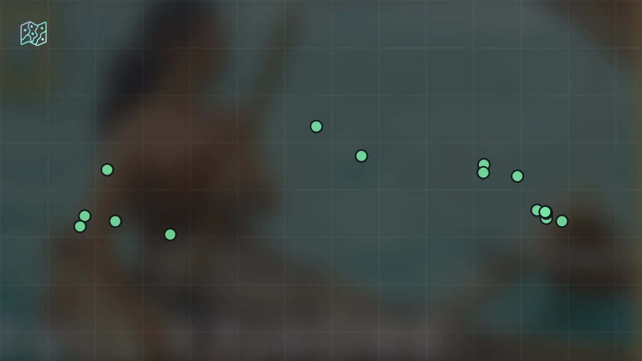
This guide turns How Ancient Voyagers Crossed the Ocean (Full Episode) | Voyagers: Exploring Pacific Waters | Nat Geo from National Geographic into a practical travel map with 16 saved spots around Capitol Hill, Easter Island, and Island of Hawai'i. The mapped places include a country, an island, a historical landmark, and a government office. Use it to understand the places and trip context before saving the map in Varedelo.
What the creator captured
National Geographic highlights the extraordinary technological and navigational feats of Austronesian voyagers who settled the Pacific thousands of years ago. The channel emphasizes that these explorers transformed the ocean from a barrier into a highway using dugout canoes and generational oral knowledge. The most significant takeaway is how these navigators read subtle signs in nature, such as bird flights and cloud formations, to discover remote islands across millions of miles of open water.
What this map is good for
- Planning a country stop or short itinerary in Capitol Hill.
- Seeing where the mapped places sit together before choosing what to visit first.
- Saving 16 mapped spots into Varedelo so the list stays usable on the ground.
- Using the original video as context, then turning it into a clean place-by-place map.
Featured spots on this map
- Solomon Islands
Country in Solomon Islands - Samoa
Country in Samoa - Vanuatu
Country in Vanuatu - Stonehenge
Historical Landmark in Salisbury SP4 7DE, UK, Salisbury, England, United Kingdom
Hours: Hours available - The Great Pyramid of Giza
Historical Landmark in Al Haram, Nazlet El-Semman, Al Haram, Giza Governorate 3512201, Egypt, Nazlet El-Semman, Giza Governorate, Egypt
Hours: Hours available - Tonga
Country in Tonga - Vanikoro
Island in Vanikoro, Solomon Islands, Vanikoro, Temotu Province, Solomon Islands - Easter Island
Island in Easter Island, Valparaíso, Chile, Easter Island, Valparaíso, Chile - Taiwan
Country in Taiwan - Santa Cruz Islands
Island in Santa Cruz Islands, Solomon Islands, Solomon Islands - Nendo
Island in Nendo, Solomon Islands, Temotu Province, Solomon Islands - University Of Northern Philippines
University in H96M+F3X, Vigan City, Ilocos Sur, Philippines, Vigan City, Ilocos Region, Philippines - 4 more spots
Open the map in Varedelo to see the full saved list.
Experiences captured
- Sailed across the Kuroshio Current
- Built traditional dugout outrigger canoes
- Observed bird migration patterns to find land
- Identified static clouds over hidden islands
- Passed down navigational knowledge through oral traditions
- Explored the open Pacific without maps or compasses
- Discovered uninhabited islands like Nendo and Vanikoro
- Navigated by the wind and the stars
Official tourism resource
Tourism Solomons is the official national tourism board and destination marketing organization for the Solomon Islands.
Planning questions
What are the best spots in Temotu Province from this video?
This guide maps all 16 spots featured in the video, with names, addresses, and neighborhoods, so you can plan your trip to Temotu Province.
Can I save these spots to use on my trip?
Yes. Open the map in Varedelo to save every spot, get directions, and revisit the guide from your phone while you travel.
Use it on your trip
Save this travel map before you go
Keep the mapped spots, creator context, food notes, and planning details together. Varedelo turns the page into a phone-friendly map you can revisit when you are choosing where to go.