Video mapKanungu8 spots
Davud Akhundzada in Kanungu: 8 Spots
8 spots in Kanungu, mapped from She Was Very Emotional When I Did This In Uganda 🇺🇬 (final video) by Davud Akhundzada.
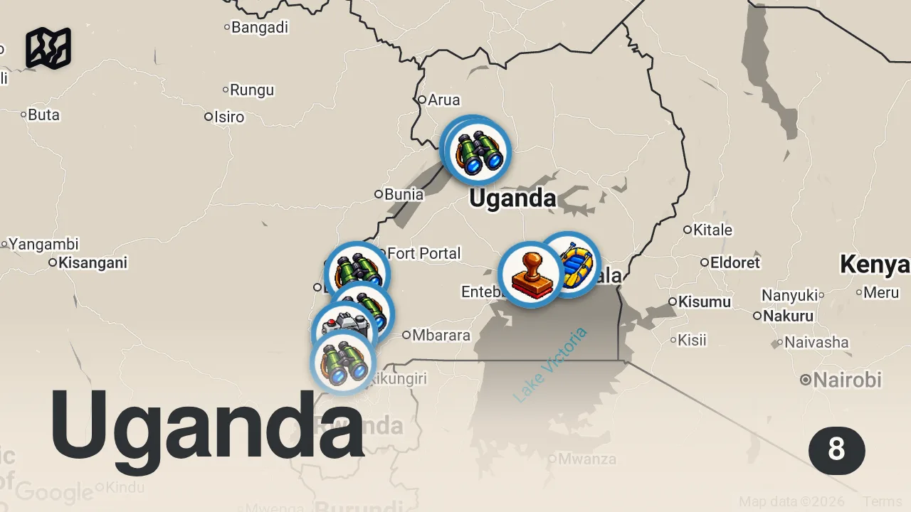
The 8 spots

Murchison Falls tourist attraction
7MHP+95X, Te'okoto, Uganda

Rwenzori Mountains National Park
Uganda
Bwindi Impenetrable Forest National Park
Buhoma, Uganda
Queen Elizabeth National Park
Uganda

Nile River Camp
Jinja, Uganda
Murchison Falls National Park
Uganda
ishasha sector
Entrance Gate, Uganda

British High Commission Kampala
Plot 4, Kampala, Uganda
From the video
 She Was Very Emotional When I Did This In Uganda 🇺🇬 (final video) · Davud Akhundzada
Davud Akhundzada was struck by the incredible lushness and self-sufficiency of the Ugandan village, comparing the green landscape to Switzerland. He was particularly impressed by how the local family grows everything they need, from medicinal plants to staple foods like Matooke and yams, right in their own backyard.
Planning notes
Trip guide
 Kanungu District Local GovernmentKanungu District Local GovernmentThe official tourism portal for Kanungu District, providing information on attractions like Bwindi Impenetrable National Park and local travel initiatives.
Planning questions
What are the best spots in Kanungu from this video?
This guide maps all 8 spots featured in the video, with names, addresses, and neighborhoods, so you can plan your trip to Kanungu.
Can I save these spots to use on my trip?
Yes. Open the map in Varedelo to save every spot, get directions, and revisit the guide from your phone while you travel.