Video mapCalifornia9 spots
vagabrothers in California: 9 Spots
9 spots in California, mapped from The Secret Military Road to Big Sur | California Motorcycle Road Trip (Day 4) by vagabrothers.
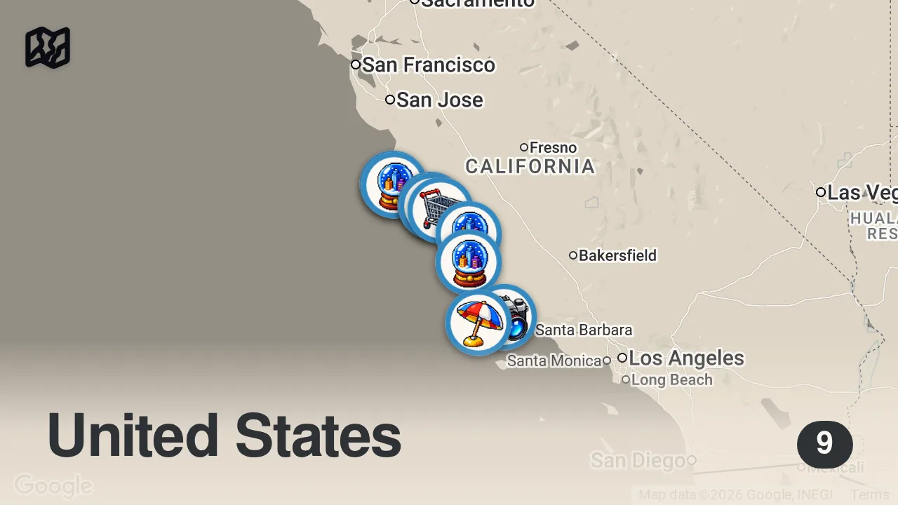
The 9 spots

Jalama Beach County Park
Jalama Beach County Park, California, USA

Santa Ynez Valley
Santa Ynez Valley, California 93460, USA

Lockwood Store
67997 Jolon Rd, Lockwood, CA 93932, USA

San Luis Obispo
San Luis Obispo, CA, USA

Fort Hunter Liggett
238 California Avenue, FT H LIGGETT, CA 93928, USA

Mission San Antonio de Padua
1 Mission Creek Rd, FORT HUNTER LIGGETT, CA 93928, USA
Paso Robles
Paso Robles, CA 93446, USA
Big Sur
Big Sur, CA 93920, USA

California 1
CA-1, California, USA
From the video
 The Secret Military Road to Big Sur | California Motorcycle Road Trip (Day 4) · vagabrothers
Vagabrothers successfully navigated a remote mountain detour to reach Big Sur while the main highway was closed, discovering hidden gems like an 18th-century mission along the way. They concluded that the challenge of the roadblock served as an invitation to get off the beaten path and rediscover the joy of motorcycle travel in their home state.
Food from the video
 coffee
Planning notes
Trip guide
 Big Sur Chamber of CommerceBig Sur Chamber of CommerceThe official travel guide for Big Sur, providing comprehensive information on lodging, camping, dining, and activities along the California coast.
Planning questions
What are the best spots in California from this video?
This guide maps all 9 spots featured in the video, with names, addresses, and neighborhoods, so you can plan your trip to California.
What are the must-try foods in California?
Creator picks from the video include coffee. Open the map in Varedelo to see which spot each one is at.
Can I save these spots to use on my trip?
Yes. Open the map in Varedelo to save every spot, get directions, and revisit the guide from your phone while you travel.