Video mapHanstholm4 spots
Things to Do in Hanstholm: 4 Places
4 spots in Hanstholm, mapped from 100km hike through Thy Nationalpark.
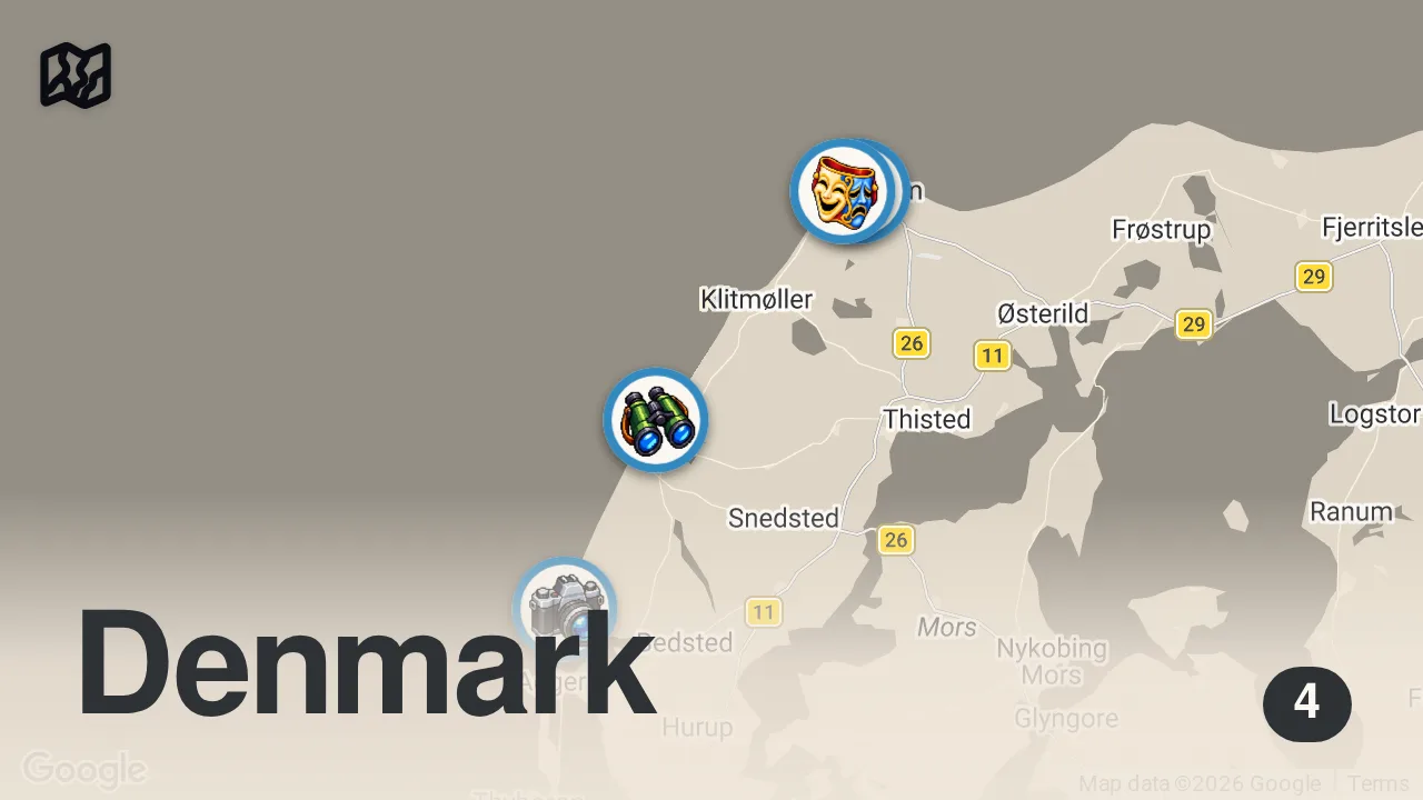
The 4 spots

Hanstholm
7730 Hanstholm, Denmark

Lodbjerg Sande
Redningsvej 8, 7770 Bedsted, Denmark

Hanstholm Fyr
Tårnvej 7, 7730 Hanstholm, Denmark

National Park Center Thy
Vesterhavsgade 168, 7700 Nørre Vorupør, Denmark
From the video
 100km hike through Thy Nationalpark
Unknown Channel completed a challenging 100-kilometer loop through Thy National Park, enduring stormy weather and a life-threatening lack of drinking water. Despite the harsh conditions, the creator emphasized that the park offers a true feeling of being in the wild and remains their favorite place to feel free.
Food from the video
 cake
cake coffee
Planning notes
Trip guide
 VisitNordvestkystenVisitNordvestkystenThe official tourism portal for Hanstholm and the Northwest Coast of Denmark, featuring guides on the local fishing port, nature reserves, and historic bunkers.
Planning questions
What are the best spots in Hanstholm from this video?
This guide maps all 4 spots featured in the video, with names, addresses, and neighborhoods, so you can plan your trip to Hanstholm.
What are the must-try foods in Hanstholm?
Creator picks from the video include cake, coffee. Open the map in Varedelo to see which spot each one is at.
Can I save these spots to use on my trip?
Yes. Open the map in Varedelo to save every spot, get directions, and revisit the guide from your phone while you travel.