Travel video guide
National Geographic in California and Texas
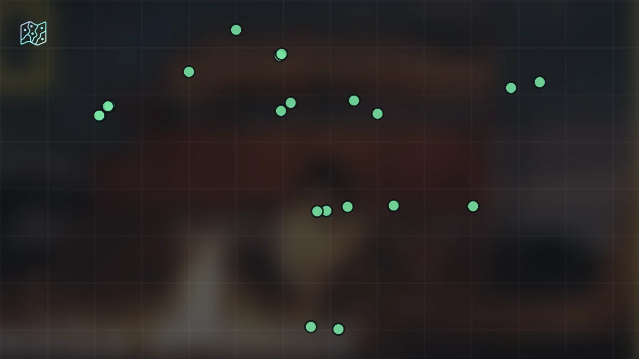
This guide turns Was the Wild West Really Wild? | What Really Happened: America's Wild West MEGA Episode | Nat Geo from National Geographic into a practical travel map with 21 saved spots around Carlisle, Gonzales, and Heroica Veracruz. The mapped places include an area marker, a river, a historical place, and a neighborhood. Use it to understand the places and trip context before saving the map in Varedelo.
What the creator captured
National Geographic explores the complex and often brutal origins of the American West, focusing on how financial desperation and greed drove settlers into Mexican Texas. The documentary highlights the tragic reality of how the Mexican government's attempt to create a border buffer led to a loss of control and the expansion of illegal slavery. It emphasizes that the 'American Dream' on the frontier was built upon the subjugation of Indigenous peoples and the exploitation of enslaved labor.
What this map is good for
- Planning a river stop or short itinerary in Carlisle.
- Seeing where the mapped places sit together before choosing what to visit first.
- Saving 21 mapped spots into Varedelo so the list stays usable on the ground.
- Using the original video as context, then turning it into a clean place-by-place map.
Featured spots on this map
- Carlisle Indian Boarding School Cemetery
Cemetery in 530 E North St, Carlisle, PA 17013, USA, North Middleton Township, Carlisle, Pennsylvania, United States - Yerba Buena
Neighborhood in Yerba Buena, San Francisco, CA, USA, Yerba Buena, California, United States - San Francisco Maritime National Historical Park
Historical Place in San Francisco, CA 94109, USA, Fort Mason, San Francisco, California, United States
Hours: Hours available - Mexico City
Hotel in Mexico City, CDMX, Mexico, Mexico City, CDMX, Mexico - Gonzales
Area marker in Gonzales, TX 78629, USA, Gonzales, Texas, United States - Pine Ridge
Area marker in Pine Ridge, SD 57770, USA, West Oglala Lakota, Pine Ridge, South Dakota, United States - Missouri
Area marker in Missouri, USA, Missouri, United States - Wounded Knee
Area marker in Wounded Knee, SD 57794, USA, East Oglala Lakota, Wounded Knee, South Dakota, United States - Castillo de San Marcos National Monument
Monument in 11 S Castillo Dr, St. Augustine, FL 32084, USA, St. Augustine, FL, United States - Little Bighorn River
River in Little Bighorn River, United States, United States - Trail Head for the Oregon and California Trail
Historical Landmark in 600 W College St, Independence, MO 64050, USA, Blue Township, Independence, Missouri, United States - New York
Area marker in New York, NY, USA, New York, United States - 9 more spots
Open the map in Varedelo to see the full saved list.
Experiences captured
- Analyzed the 1819 banking crisis and debt evasion
- Examined Mexican land grants of leagues and labors
- Investigated American migration into Mexican-controlled Texas
- Documented the exploitation of enslaved people in cotton farming
- Explored the buffer zone against the Comanche Nation
- Reviewed the rebranding of slaves as indentured servants
- Studied the 1830 Mexican inspection of Texas territories
- Traced the shift from Mexican to de facto American control
Official tourism resource
The official destination marketing organization for Cumberland County, PA, providing travel guides and visitor information for Carlisle and the surrounding area.
Planning questions
What are the best spots in California and Texas from this video?
This guide maps all 21 spots featured in the video, with names, addresses, and neighborhoods, so you can plan your trip to California and Texas.
Can I save these spots to use on my trip?
Yes. Open the map in Varedelo to save every spot, get directions, and revisit the guide from your phone while you travel.
Use it on your trip
Save this travel map before you go
Keep the mapped spots, creator context, food notes, and planning details together. Varedelo turns the page into a phone-friendly map you can revisit when you are choosing where to go.