Video mapCalifornia4 spots
vagabrothers in California: 4 Spots
4 spots in California, mapped from THE END OF THE ROAD (DAY 7) by vagabrothers.
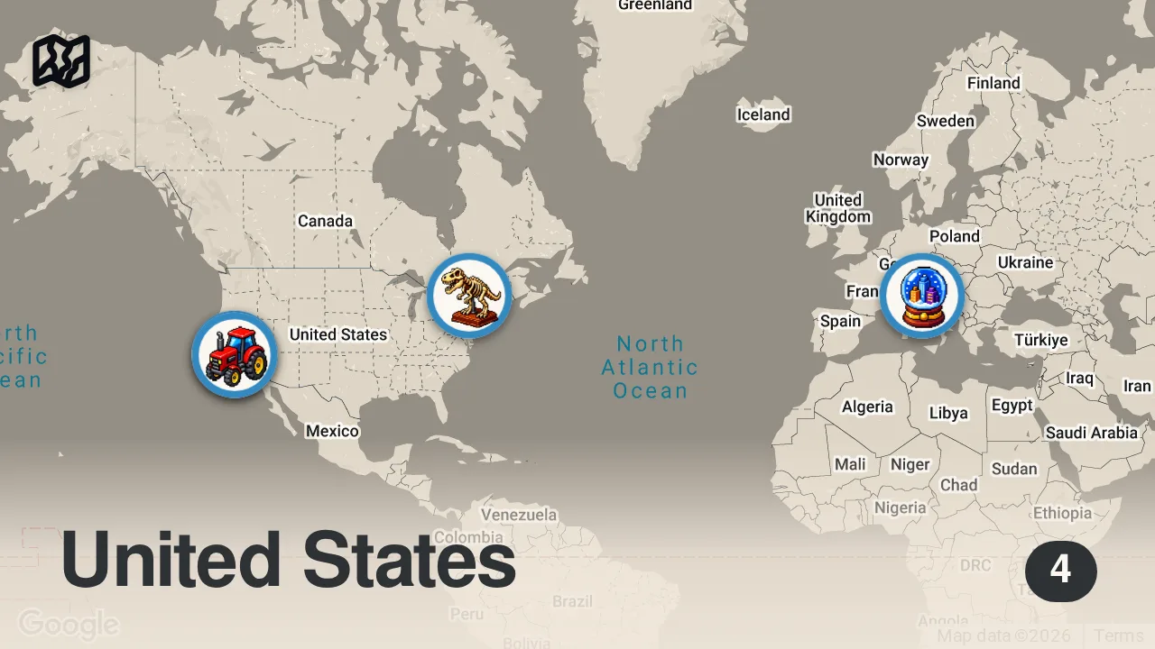
The 4 spots

Venice
Venice, Metropolitan City of Venice, Italy

Eucalyptus Tree Row (1874)
312 W Carmel Valley Rd, Carmel Valley, CA 93924, USA

Ottawa
Ottawa, ON, Canada

101 Red Barn
1000 US-101, Aromas, CA 95004, USA
From the video
 THE END OF THE ROAD (DAY 7) · vagabrothers
vagabrothers concluded their week-long road trip by reflecting on the diversity of the California coast and the inspiration gained from traveling with a large group of fellow creators. Their personal highlights included waking up on a cliffside in Big Sur and the rare moments of disconnecting from technology to bond with friends in nature.
Food from the video
 coffee
 marshmallows
 s'mores
Planning notes
Trip guide
 See MontereySee MontereyThe official tourism website for Monterey County, providing travel guides, lodging, and event information for destinations including the town of Aromas.
Planning questions
Where did vagabrothers eat in California?
This guide maps all 4 spots featured in the video, with names, addresses, and neighborhoods, so you can plan where to eat in California.
What are the must-try foods in California?
Creator picks from the video include coffee, marshmallows, s'mores. Open the map in Varedelo to see which spot each one is at.
Can I save these spots to use on my trip?
Yes. Open the map in Varedelo to save every spot, get directions, and revisit the guide from your phone while you travel.