
Travel video guide
Best Parks in White Sands, New Mexico From Chad and Claire | Varedelo
This guide turns WORLD'S LARGEST GYPSUM DUNE AND HOT SPRINGS IN THE DESERT (faceplanting) from Chad and Claire into a practical parks map with 2 saved spots around White Sands. The mapped places include an area marker and a national park. Use it to understand the places, food notes, and trip context before saving the map in Varedelo.
What the creator captured
Chad and Claire enjoyed exploring the world's largest gypsum dune field, though Claire had a disheartening fall while sledding that resulted in her 'eating' some sand. Their favorite part of the visit was watching the sunset over the white dunes and the surrounding mountains. They concluded their day by cooking a large pot of turkey chili in their van while parked near Las Cruces.
What this map is good for
- Planning a national park stop or short itinerary in White Sands.
- Seeing where the mapped places sit together before choosing what to visit first.
- Saving 2 mapped spots into Varedelo so the list stays usable on the ground.
- Using the original video as context, then turning it into a clean place-by-place map.
Featured spots on this map
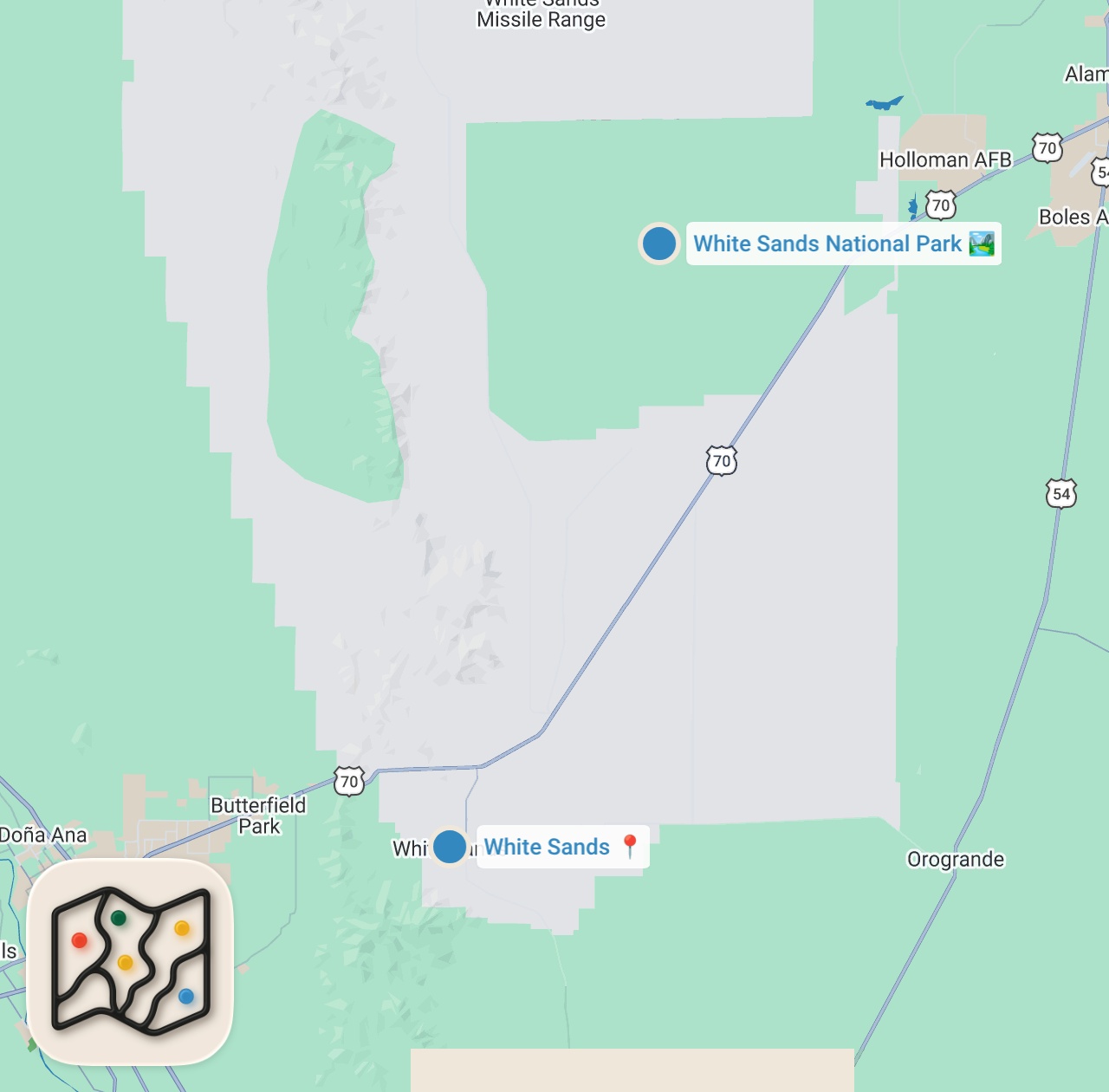
- White Sands National Park
National Park in New Mexico, USA, New Mexico, United States - White Sands
Area marker in White Sands, NM 88002, USA, White Sands, New Mexico, United States
Food notes from the video
- gypsum sand
- water
- homemade turkey chili
Experiences captured
- sledding on gypsum dunes
- bought and sold used sleds
- walked the Dune Life Nature Trail
- explored the Playa Trail and boardwalk
- watched the sunset over the dunes
- drew a large-scale van in the sand
- dodged swarming bees at a water station
- cooked dinner in the van
Planning questions
What is this video map?
It is a crawlable guide to the mapped places from WORLD'S LARGEST GYPSUM DUNE AND HOT SPRINGS IN THE DESERT (faceplanting), with the creator video, a static map preview, and selected spots from the trip.
Can I save these spots?
Yes. Open the map in Varedelo to save the places, keep planning notes, and revisit the guide from your phone.
Does this replace watching the video?
No. The video remains the source, and the map makes the places easier to scan, compare, and save while planning.
Use it on your trip
Save this parks map before you go
Keep the mapped spots, creator context, food notes, and planning details together. Varedelo turns the page into a phone-friendly map you can revisit when you are choosing where to go.