Video mapKentucky3 spots
Travel Channel in Kentucky: 3 Spots
3 spots in Kentucky, mapped from Terrifying Cabin Encounters in the Woods | These Woods Are Haunted | Travel Channel by Travel Channel.
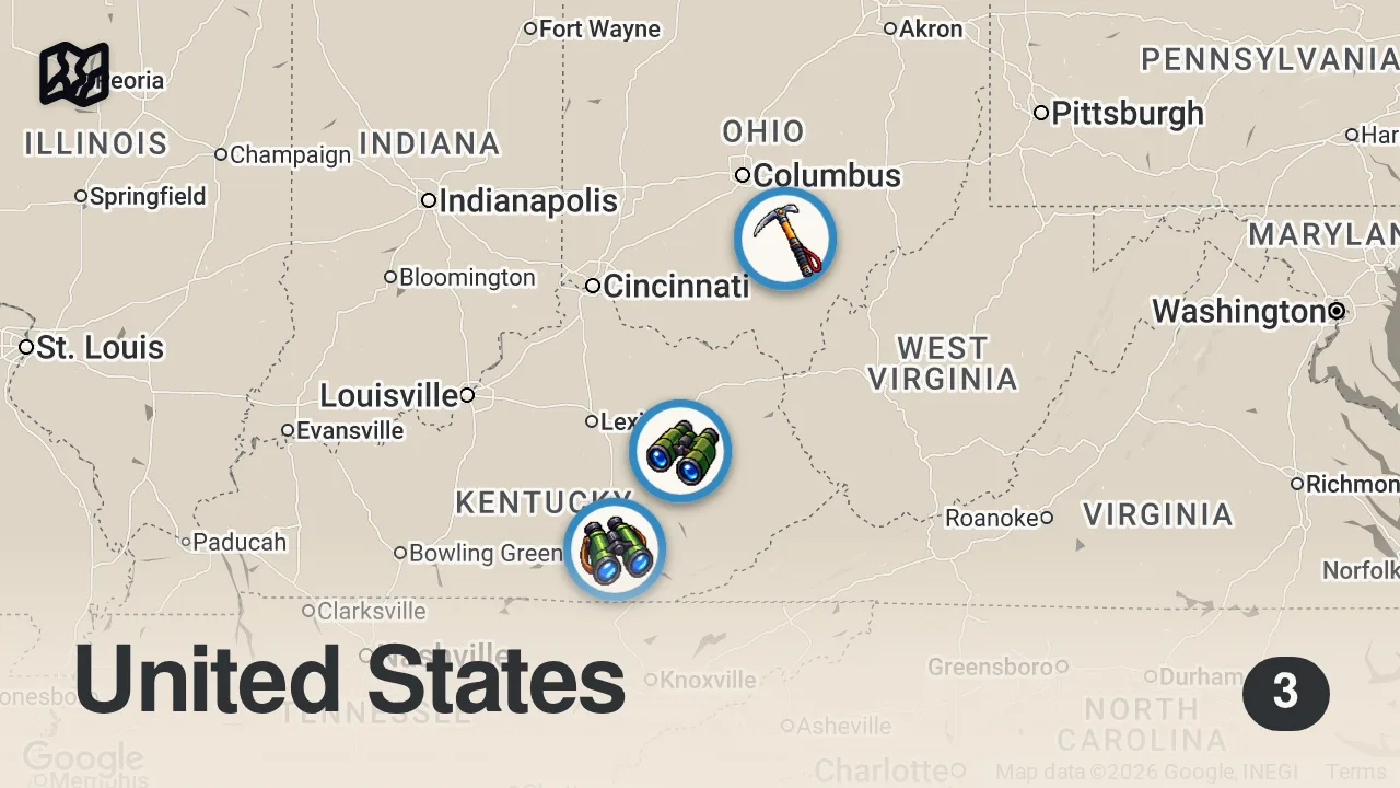
The 3 spots

Daniel Boone National Forest
1700 Bypass Road, Winchester, KY 40391, USA

Red River Gorge Geological Area
Stanton, KY 40380, USA

Hocking Hills
Hocking Hills, Laurel Township, OH 43149, USA
From the video
 Terrifying Cabin Encounters in the Woods | These Woods Are Haunted | Travel Channel · Travel Channel
Travel Channel experienced a night of terror while staying at a remote hunting lodge they believed was haunted by the previous owner. The most chilling moment occurred when the creator answered a persistently ringing kitchen phone only to discover it was not plugged into the wall. They concluded that the aggressive noises and phantom calls were supernatural attempts to drive them out of the house.
Food from the video
 bottle of booze
Planning notes
Trip guide
 Explore Hocking HillsExplore Hocking HillsThe official tourism website for the Hocking Hills region, including Laurel Township, Ohio, featuring outdoor adventure, lodging, and visitor guides.
Planning questions
What are the best spots in Kentucky from this video?
This guide maps all 3 spots featured in the video, with names, addresses, and neighborhoods, so you can plan your trip to Kentucky.
What are the must-try foods in Kentucky?
Creator picks from the video include bottle of booze. Open the map in Varedelo to see which spot each one is at.
Can I save these spots to use on my trip?
Yes. Open the map in Varedelo to save every spot, get directions, and revisit the guide from your phone while you travel.